
A city shaped by water
The City’s Lakes & Stormwater division describes 38 named city lakes. That is an attributed reference fact, not a live inventory or a count of every waterbody in greater Lakeland.
City of Lakeland · Lakes & Stormwater ↗ Lakeland Geographic
A field guide / Close to home
Look beyond the lakefront view. Follow the water, notice the shoreline and discover how natural lakes, altered landscapes and connected watersheds help tell Lakeland’s story.
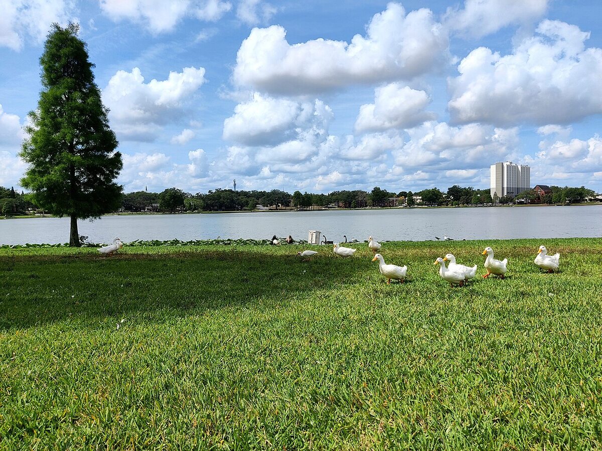
First, a change of scale
Water gives Lakeland its name and much of its everyday scenery. But a geography-minded walk asks different questions: where did this lake come from? Where does its water go? What can a shoreline tell us?
The City’s Lakes & Stormwater information is the starting source here. Our notes separate attributed facts from suggestions for looking more carefully.
Read the City’s lake overview ↗A useful distinction
The City identifies natural lakes including Parker, Hollingsworth, Mirror and Morton, while others reflect former phosphate mining.
That contrast is a reason to investigate, not a reason to guess about depth, water quality, public access or swimming.
Check the City’s lake origins ↗The small field notebook
Six editorial starting points, not a live environmental report. Search a lake, river or topic, then open its source for more context.
6 of 6 editorial entries
The City’s Lakes & Stormwater division describes 38 named city lakes. That is an attributed reference fact, not a live inventory or a count of every waterbody in greater Lakeland.
City of Lakeland · Lakes & Stormwater ↗The City identifies Parker, Hollingsworth, Mirror and Morton as natural lakes. Similar-looking shorelines do not necessarily mean similar origins.
City · Overview of Our Lakes ↗Bentley, Canyon, Crago, John, Waterview and Somerset are among the lakes the City describes as manmade, originating in former phosphate-mining areas.
City · Overview of Our Lakes ↗City lake drainage connects to the Peace, Alafia and Hillsborough river systems. A lake is part of a larger drainage story, not just the water inside its shoreline.
City · Overview of Our Lakes ↗Use the Polk Water Atlas to investigate local water resources and explore lake information. Read each dataset’s dates and context rather than treating a single observation as a swimming advisory.
Polk Water Atlas ↗Bring curiosity, not snacks for wildlife. Observe without feeding or approaching animals, stay on permitted paths and obey posted rules. This guide makes no swimming or wildlife-safety guarantees.
City lake information ↗The best souvenir is noticing
Do not feed wildlife or approach animals for a photograph. Give nesting areas and shorelines space, follow posted rules, and take litter home. Public scenery is not a promise of public water access.
A slower kind of fieldwork
Note what you actually see: a shoreline shape, a bird from a distance, or the direction of a visible drain. Separate observations from explanations.
Try “where can I find this lake’s background?” instead of deciding its history from its appearance.
Keep the lake name, source link and the date of any data you use. Conditions and advisories can change.
For a different, lake-focused starting point in the I Am Lakeland network.
A research tool for water resources; read each source’s context and update dates.
City volunteer resources for outreach, litter and pollution prevention. Confirm requirements directly.